The Shire of Gnowangerup is situated in the Great Southern area, approximately 354 kilometres from Perth and 140 kilometres from Albany via the Chester Pass Road.
It covers an area of approximately 5,000 square kilometres and is a prosperous grain growing and sheep producing area. The area is noted Australia wide for its merino sheep and attracts large crowds to the annual Stud Field Days.
There are three towns in the Shire of Gnowangerup, which service the local community and a growing tourism node at the edge of the Stirling Range National Park.
In the 19th century Sandalwood cutting played an important role in the Shire's history, with a sandalwood cutters camp being established in the Borden area in the 1840's. Colonists named the camp 'Poilyenum' the Noongar word for sandalwood. This provided jobs and income during the depression of the 1870's.
George Cheyne was actually the first person to acquire land in the Shire in the 1850's where the fertile slopes of the Pallinup River provided excellent grazing. Land clearing spread in the Shire after the opening of the Gnowangerup to Ongerup railway in 1913.
Borden
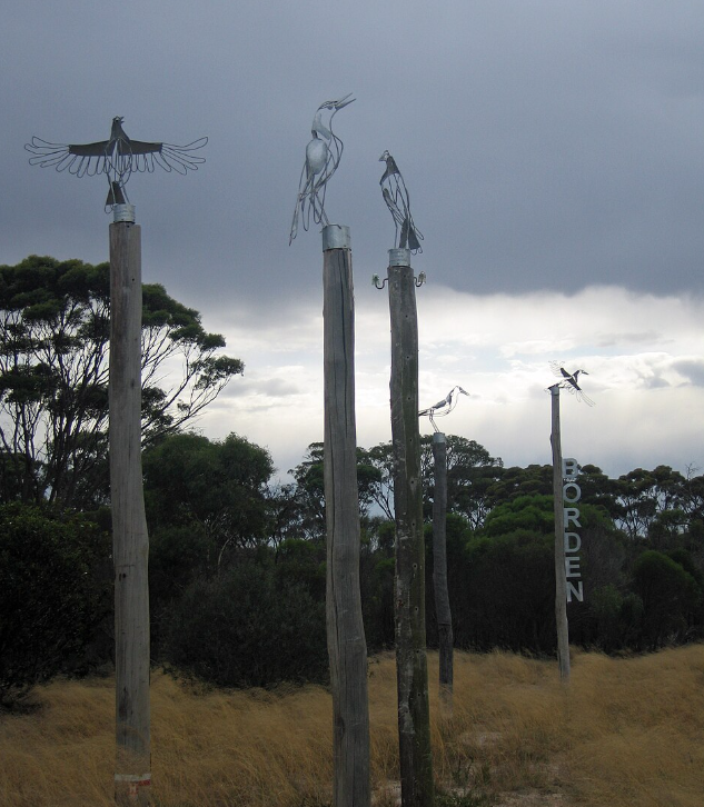
The small town of Borden first developed as a siding on the Gnowangerup-Ongerup railway. The townsite was declared in 1915 and by the 1920's it was a thriving centre. The area to the south of the town was opened up for settlement by returned soldiers at the end of World War One.
Map Of Borden Townsite
Ongerup
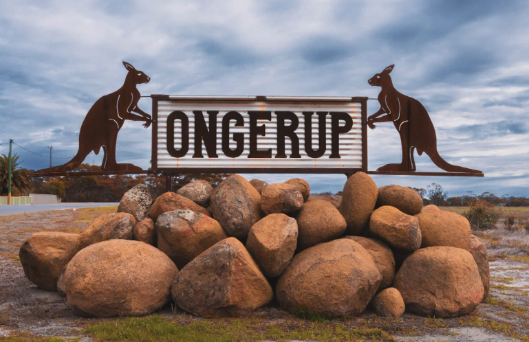
The name Ongerup is derived from 'Yongerup', the Noongar word meaning 'place of the male kangaroo'.
The first white man to trek across parts of the Ongerup district was Surveyor General Roe when he passed through in 1848. Settlement in the area commenced with the Moir family who took up land along the Warperup Creek in 1870.
In 1910 the land was surveyed into 1,000 acres (405 hectare) blocks, and these were priced at ten shillings per acre. With the opening of the railway at Ongerup in 1913 the settlement increased until drought and the First World War brought a halt to Government assistance. Many holdings were abandoned.
In the 1930's, the years of the depression, kangaroo hunters and mallet bark strippers came to the district. The bark, which was used for tanning was sent to Germany while the skins were railed from the siding and provided a meagre living for the unemployed.
Map Of Ongerup Townsite
Map Of The Shire (Ongerup)
Gnowangerup
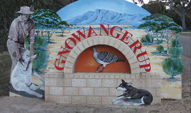
The name Gnowangerup is derived from the Aboriginal word 'Ngow', meaning Malleefowl.
For thousands of years the plains were hunting grounds for the Goreng Noongars - evidenced by stone implements still found along the creeks. The last full blood Noongar died in 1965, however descendants are still in the area.
While some settlement in the region took place in the second half of the 19th century it was around 1905 that the Land Department was requested to survey the area, now known as Gnowangerup, for town lots.
Map Of Gnowangerup Townsite
Map Of The Shire Of Gnowangerup
Stirling Range
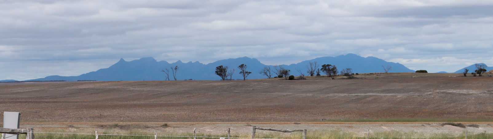
The first ship known to visit the coast was the Dutch ship 'Guilden Seepaart', in 1627. One hundred and ninety five years later, it was the English Captain Matthew Flinders on HMS 'Investigator' who recorded the first sighting of the inland mountain range on 5 January 1802, calling them 'Mount Rugged'.
The Stirling Range National Park was named by John Septimous Roe on 4 November 1835 after Captain James Stirling the first Governor of Western Australia.